

This is a text automatically translated from Italian. If you appreciate our work and if you like reading it in your language, consider a donation to allow us to continue doing it and improving it.
Go looking for alternatives to Google Street View it was perhaps one of the most complex missions, from many points of view. While we found it very easily alternatives to Gmail or alternatives to Chrome easily adoptable, Google Street View It has incredible mapping and image quality that is difficult to match.
However, we managed to find something for those who want to completely detach themselves from Google and no longer see it even through binoculars (or... WebApps). In reality we have only found one alternative, but it is free and has great potential. In fact, let's talk about the project KartaView, already known in the past as OpenStreetCam.
Before I tell you about KartaView but we will also let you know GMaps WV.
- GMaps WV it's an application Open source 1 present only on F-Droid (things?) which will allow you to use Google Maps and also see the streets of Google Street View in a separate container from yours Browsers. You can also decide to never give permission to see your location. This way you can use Google Street View when strictly necessary without installing Google Maps on your smartphone.
Now let's go back to KartaView. This project is experiencing (or at least trying to experience) a second youth! The project was born in 2009 with the name of OpenStreetView 2 and is based on the same concept as OpenStreetMap: if everyone does their part and maps a part of the area they live in, we will have free mapping for everyone! In recent years, in fact, many people have mapped different parts of the world. Although unfortunately we have not reached the levels of Google Street View who however has almost infinite funds to do whatever he wants.
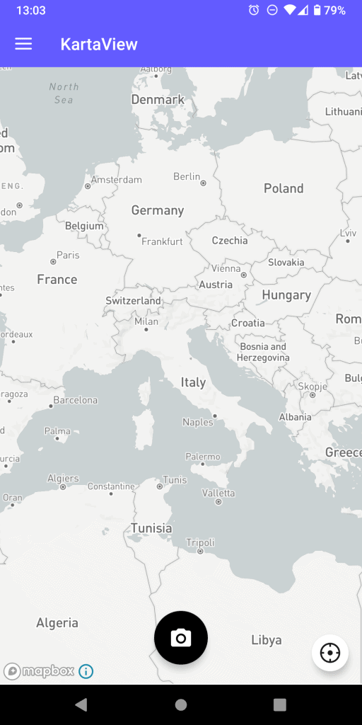


KartaView is the alternative to Google Street View
Lately however, thanks also to the transition of the project and the team to Grab (a transport and food delivery application widely used in South-East Asia), tens of thousands of kilometers have been mapped in just a few months in Indonesia and in Malaysia. This data was then shared and made public also on KartaView to be able to be used by everyone.
We were therefore saying that it is experiencing a new youth because precisely because of this acquisition the project decided a few months ago to redo its look by changing its name and graphics. KartaView it is in fact the name of the project until recently known as OpenStreetCam and, before that, OpenStreetView.
The entire KartaView project is open
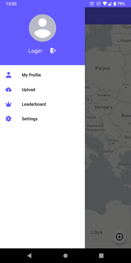
KartaView it's totally a project Open source 3 and free for anyone. All its applications are too Open source, both the Android one 4, both for iOS 5 than the web one 6. Although, it must be admitted, the source codes of all three are not updated very consistently.
Initially we thought we could also include it in this article Mapillary, which you may have already heard of. Actually Mapillary it is only partially open (not its web application nor its mobile applications) and, above all, was recently purchased by Facebook 7. So we would like to stay away from it a little so as not to further strengthen the power that Facebook has over our society.
Unfortunately, as mentioned, KartaView it is very far from perfect. However, if you are still interested in the project, we leave you below what you need to try it.
USEFUL LINKS
- Official site Of KartaView
- Mobile applications for Android and for iOS. We warn you that the Android application, despite being open, is unfortunately full of tracers 8. You can use it together with TrackerControl to block them!
- Remember that it is a project open to everyone, if your area is poorly mapped you can also do your part! To do it just install the mobile application.
- source code by GMaps WV[↩]
- KartaView on Wikipedia[↩]
- KartaView on GitHub[↩]
- KartaView Android on GitHub[↩]
- KartaView iOS on GitHub[↩]
- Website on GitHub[↩]
- Mapillary Joins Facebook on the Journey of Improving Maps Everywhere[↩]
- Exodus Report on KartaView[↩]
Join communities


If you have found errors in the article you can report them by clicking here, Thank you!