This is a text automatically translated from Italian. If you appreciate our work and if you like reading it in your language, consider a donation to allow us to continue doing it and improving it.
Content index
Trail Sense, main features
free
Open source
no internet connection required
an infinite number of functions and useful tools for excursions and beyond
Today's application is an application that we have already mentioned in several of our articles. Trail Sense in fact it appears both as application to count steps that how sports tracking application. Actually Trail Sense as we had already written, it is not an application created for playing sports or counting steps, however, given that it is very versatile and full of features, we decided to include it. And we have now decided to dedicate a small article to it.
Trail Sense, the features


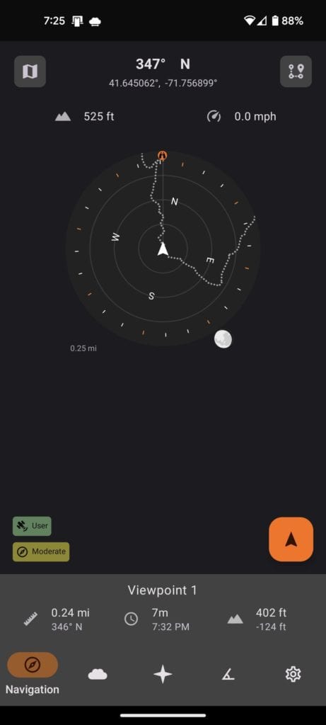
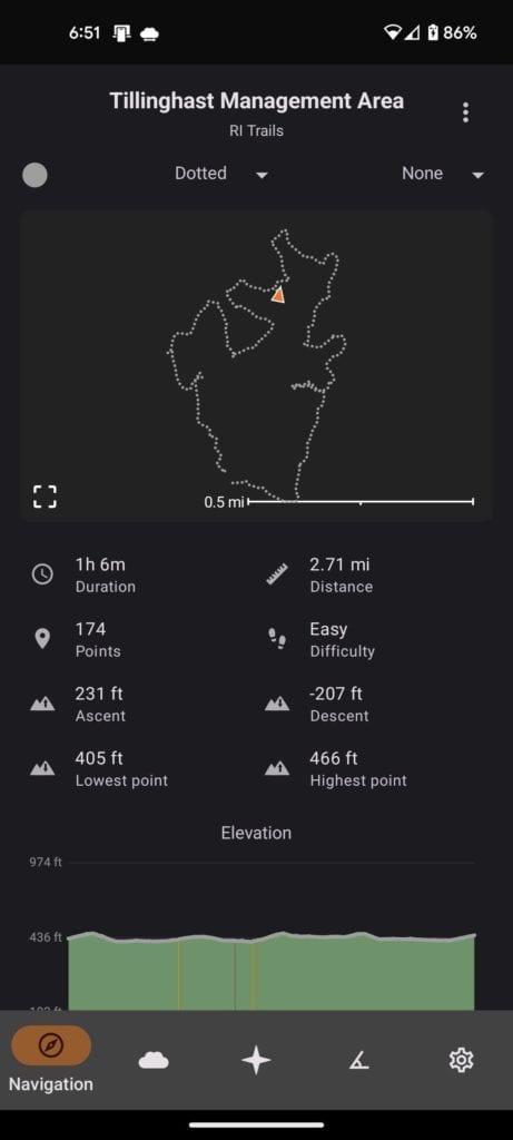
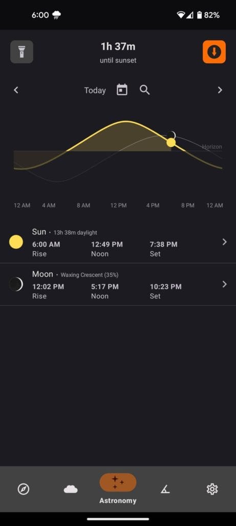
Among the features present on this application we can in fact find:
- altitude of the place we are in
- pedometer, as mentioned above
- possibility of tracing routes e retrace your steps
- be notified when the sun is about to set
- weather forecasts
- possibility to turn on the flashlight directly from the app
On the page of source code we can find the objectives of this application:
- Trail Sense must not use the Internet in any way, as I want the entire application to be usable even without an Internet connection.
- The features must provide some benefit to the user while hiking, in survival situations, etc.
- Features should use the phone's sensors instead of relying on stored information like guides.
- Features must be based on peer-reviewed or real-world science.
In short, as you will have understood, it is an application that tries to leave nothing to chance and which could be very useful to you if you are used to hiking!
Download
• • •This tag @loyal alternatives is used to automatically send this post to Feddit and allow anyone on the fediverse to comment on it.
Join communities
If you have found errors in the article you can report them by clicking here, Thank you!
2 comments
Puoi commentare questo articolo dal tuo account sul Fediverso! Se hai Mastodon o Lemmy (Feddit.it) cerca il link di questo articolo e commenta dal Fediverso! .


I have it installed on my “just in case” series phone
I use it sporadically:
the notification one hour before the sun sets is convenient, for example if I am out cycling
has a lot of astronomical information: direction of the sun and moon, phase of the moon, next “meteor shower”, sunrise and sunset of the sun and moon
compass
bubble
all functions are implemented simply and clearly
What do you think about komoot?
I have always used SportsTracker (an old version because the latest updates reduce free functions) but I am looking for open alternatives which however I cannot find with the same functions...